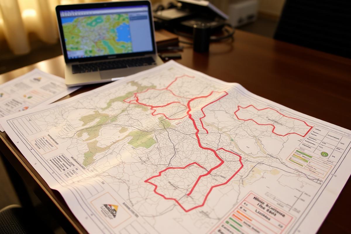
Every mineral right in Uganda is supposed to appear in one place: the mining cadastre maintained by the Directorate of Geological Survey and Mines at Entebbe. Location licences, exploration licences, retention licences, mining leases and mineral dealer licences all carry a reference number, a holder, a commodity, a district and a set of boundary coordinates.
The portal is public. Almost nobody outside the sector uses it, which is why disputes that could be settled in ten minutes end up running for months.
01How to read an entry
You see, a cadastre record has four parts worth knowing. The licence type tells you what the holder may legally do: an exploration licence does not permit production, and a location licence is a small-scale right with an area ceiling and a shorter term. The status field distinguishes granted, pending, expired and relinquished, and a great many disputes turn on the difference between granted and pending. The coordinates define a polygon, not a village name, so overlap claims are resolvable on a map rather than by argument. The expiry date matters because rights lapse and ground reverts to open status.
02What the register does not tell you
Truth be told, the cadastre records the right, not the conduct. It will not tell you whether a holder is actually working the ground, whether royalties have been paid, whether a community development agreement exists, or whether the environmental conditions attached to the licence are being met. Treating a licence number as proof of good practice is the most common error in Ugandan mining coverage, including in coverage sympathetic to the sector.
03Why UMT publishes cadastre extracts
Reporting that names a company without naming its licence is unverifiable. From this month, UMT will cite the licence reference and status for any operator we report on where the register carries one, and say plainly where it does not. Readers can check the same record against the portal themselves.
04Practical notes for readers
Search by district as well as by company name: holders are frequently registered under corporate names that bear no relation to the trading name used locally. Where a record shows a pending application over ground already being worked, that is a fact worth asking the district about rather than a scandal in itself, since backlogs at the directorate are long and well documented. Time will show whether the paper becomes work.
How we verified this: licence and production details are checked against official records and ministry statements where they exist. Corrections are welcome through our contact page.
Receive our monthly briefings on Uganda's mineral licensing and cadastre updates.
One email each month: new licences and renewals on the DGSM cadastre, community agreement filings, and the field research we publish. No sponsors, no advertising.